Explore climates.im

Low and medium cloud

Layers and heaps

Stratocumulus from orbit, twice, fifty years apart, and a cumulus file that refuses to invent a place name.
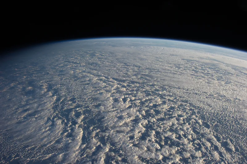
A panoramic view from the International Space Station of a wide field of stratocumulus clouds over the ocean, with the terminator at the far left.
Stratocumulus over the northwestern Pacific Ocean, about 460 miles east of northern Honshu, Japan, photographed on 4 January 2013 by the Expedition 34 crew on the International Space Station. The official caption describes a descending pass in late afternoon light, with the terminator at upper left, and says the low clouds carry cold air over a warmer sea with no discernible storm pattern. Photo: ISS Expedition 34 crew, NASA Johnson Space Center · Public domain · NASA / ISS Expedition 34 / Wikimedia Commons

Low clouds, on the Met Office’s British Isles table, usually have bases below 6,500 feet: Stratocumulus, Stratus, Cumulus and Cumulonimbus. [source] The Expedition 34 photograph of 4 January 2013 is stratocumulus over a warmer sea, with no discernible storm pattern — a genus, not a warning. The 2026 Met Office blog notes that stratocumulus is one of the most common cloud types seen across the UK, and that cumulus clouds are among the familiar heaps of a fairer day, while cumulonimbus belongs with showers and thunderstorms. [source] Severe convective weather, as events, still belongs on storms.im.
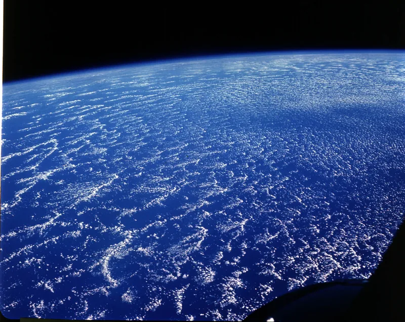
A Gemini 6A photograph of an open cellular network of stratocumulus clouds southwest of the Canary Islands, with a blue band of atmosphere on the horizon.
A large network of stratocumulus clouds southwest of the Canary Islands, photographed from Gemini 6A on 16 December 1965 (S65-63264). The official caption says these are open cellular-type convective clouds in which air rises along the cell walls and sinks in the centres, with a foreground surface wind from the northeast at 25 to 35 km/h (15 to 20 knots), and that the blue band along the horizon is the Earth’s troposphere. Spacecraft image: NASA, Gemini 6A · Public domain · NASA / Gemini 6A / Wikimedia Commons

Gemini 6A, on 16 December 1965, looked down on an open cellular network of stratocumulus southwest of the Canary Islands: air rising along the cell walls and sinking in the centres, a northeast wind of 25 to 35 km/h, and a blue band of troposphere along the horizon. It is an official caption more than half a century older than the ISS still, and it is still about the same genus.
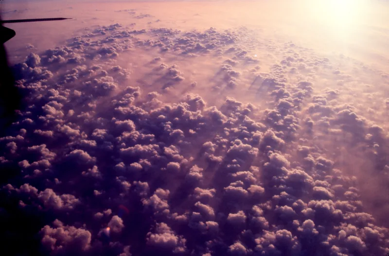
A field of white cumulus heaps in a blue sky, from a NOAA file that does not name a place.
A NOAA file titled Cumulus clouds14 - NOAA, dated 12 November 2005 on the file page. The file does not name a photographer and does not give a scene caption. This desk credits NOAA and does not invent a location or a story for the frame. Photo: NOAA (photographer not named on the file) · Public domain · NOAA / Wikimedia Commons
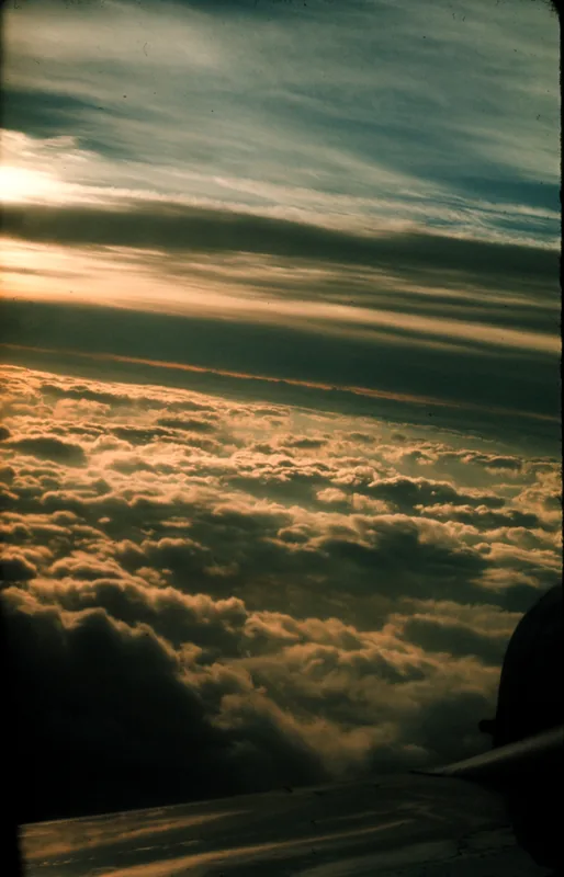
A view from above a stratocumulus layer, looking toward further layers of cloud, from a NOAA file.
A NOAA file titled “Above the stratocumulus looking at multi-layers of clouds - NOAA,” dated 15 November 2005 on the file page. The file does not name a photographer and does not give a longer scene caption. The title is used as the caption, and nothing is added to it. Photo: NOAA (photographer not named on the file) · Public domain · NOAA / Wikimedia Commons

Two NOAA stills on this page are almost too honest. One is titled only Cumulus clouds14 - NOAA, dated 12 November 2005. The other is titled “Above the stratocumulus looking at multi-layers of clouds - NOAA,” dated 15 November 2005. Neither file names a photographer or gives a scene caption. They are here as cumulus and as layered stratocumulus, credited as NOAA files, with the gap left visible.

Medium cloud, on the main British Isles table, usually sits between 6,500 and 20,000 feet: Altocumulus, Altostratus, Nimbostratus. [source] The 2014 observers’ guide uses that same table, and notes that nimbostratus may lower to near the Earth’s surface. [source] The schools page’s medium band ends at 18,000 feet, not 20,000. [source] A cavum in altocumulus, and a 22° halo in cirrostratus, are on the unusual and high pages, so this one can stay with the everyday layers and heaps.

Keep the lights on

Enjoyed a desk of official cloud genera, two height tables, and a few unusual shapes?

No pop-ups. No intrusive advertising. Just interesting stuff. A little support helps the next climates.im site get built.