The official classifications
Ten genera, two official height tables
The main Met Office clouds page uses 20,000 feet over the British Isles. A schools page uses 18,000 to 45,000 feet for high cloud. Both stay on this desk.
Ten genera, and more than one official way to say how high they usually sit.
A desk of official cloud classifications and height tables
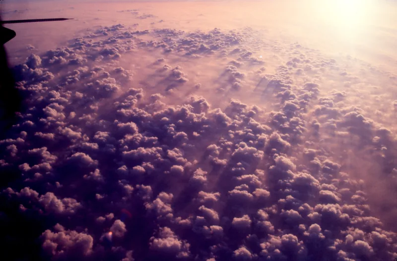
The default card is the Met Office’s main “Clouds” page, because it is the page that also names Howard’s book and the ten WMO genera. Heights over the British Isles: low, base usually below 6,500 ft — Stratocumulus, Stratus, Cumulus, Cumulonimbus; medium, usually 6,500 to 20,000 ft — Altocumulus, Altostratus, Nimbostratus; high, usually 20,000 ft or above — Cirrus, Cirrocumulus, Cirrostratus. [source] Cloud Types for Observers (2014) uses the same British Isles table, and notes that nimbostratus may lower to near the Earth’s surface. [source]
The schools page is not treated as a typo. High clouds there “are usually composed solely of ice crystals and have a base between 18,000 and 45,000 feet (5,500 and 14,000 metres).” Medium: 6,500 and 18,000 feet (2,000 and 5,500 metres). Low: below 6,500 feet (2,000 metres). The same page says that if the temperature falls below about minus 20 °C, many of the cloud droplets will have frozen, so that the cloud is mainly composed of ice crystals. [source]
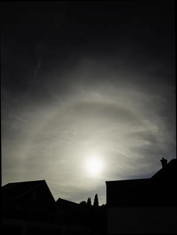
Howard’s 1802 split, on the Met Office page, is into three main types — stratus, cumulus and cirrus — later extended by the WMO to ten genera. [source] A 15 September 2026 Met Office blog still speaks of those ten basic genera, divided into low-, medium- and high-level clouds, and then spends its time on two striking features: lenticulars and mammatus. [source] Those features have their own page on this site.
Enjoyed a desk of official cloud genera, two height tables, and a few unusual shapes?
No pop-ups. No intrusive advertising. Just interesting stuff. A little support helps the next climates.im site get built.